

All work

Pano-X Bot

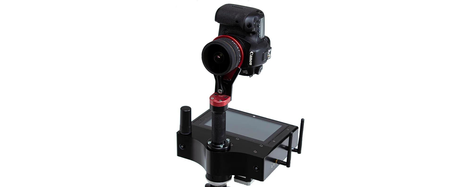
A robotic imaging system connecting panoramic capture with position, orientation and automation.

Year2011–2021
Made withPanoramicWEB · TÜBİTAK-supported R&D
FieldHardware & R&D
StatusDelivered
A product photograph of the Pano-X automatic panoramic capture robot.

The system behind the experience.

Technology atlas
2011 → / GEOSPATIAL

GIS / Georeferenced imaging

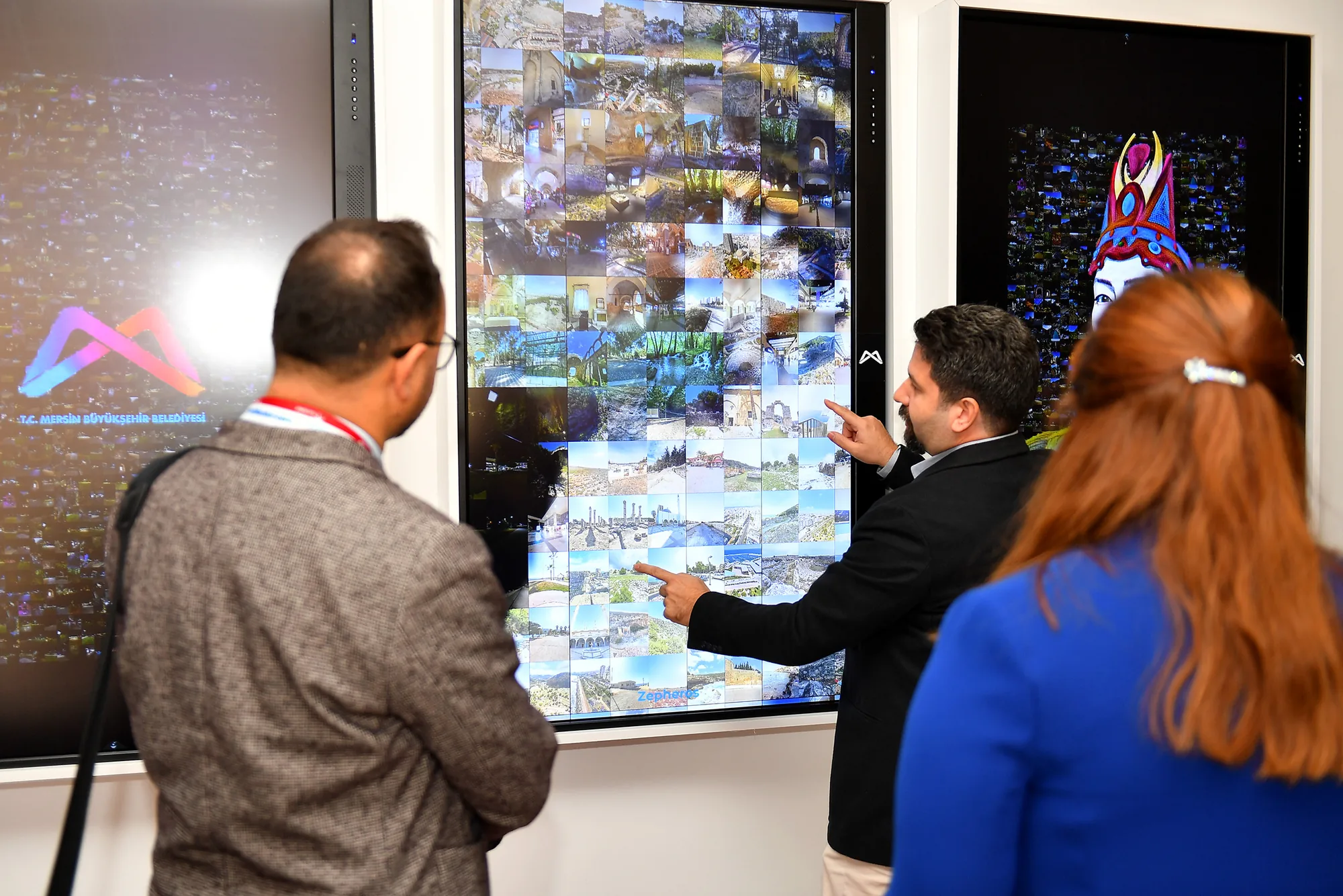
Pano-X records imagery together with position and orientation. GPS/GNSS, the IMU and the robot’s rotation data support image linking and spatial navigation. Moving from an aerial view down to street level is the visible result of that production chain.

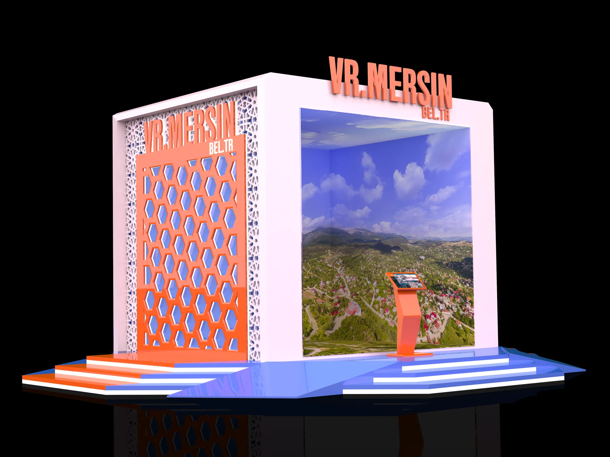
Explore Mersin from above
2011 → / ROBOTICS

Pano-X / Capture robotics

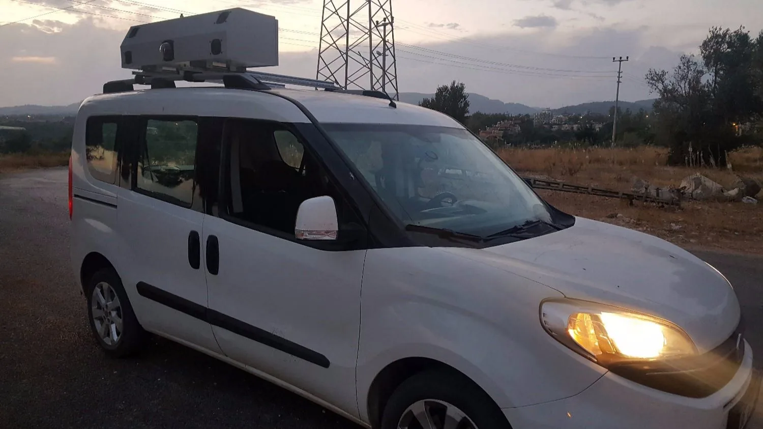
The rotating capture rig works with gyroscope, compass, accelerometer, GPS and encoder data. RTK positioning and an indoor stereo-camera approach address the same question in different settings: where is the camera, and where is it looking?

Pano-X production archive
2012—2017 / POINTCLOUD

Robopoint / Photogrammetry

Robopoint links coordinated camera control with IMU and GNSS/RTK data. Captured images enter a photogrammetric workflow that produces a point cloud. The product archive lists compatibility with Aurvis, Bundler and Agisoft.

Robopoint technical archive
2011 / THE PROJECT STORY

We built the capture system we needed.

Back then

Manually capturing and connecting thousands of panoramas was becoming a production constraint in large city projects.

What we made

We combined our control software with robotic capture, sensor and position data. The Pano-X family developed across projects including Hamamönü, Anadolupark and VR Mersin.

What it made possible

The archive records the 2011 Pano-X Copter, the 2012 Pano-X Street and later robot versions in the field. Developing software and hardware together remained central to our practice.

2011Archived aerial capture system
GISPosition-linked imagery
RoboticsGISIMURTKCapture automation
Sources and archive
Have something like this in mind?