All work

VR Mersin

Mersin from 2015 to today: positioned panoramas, day/night and time layers; a city experience extending from the web to headsets, kiosks and exhibitions.

Year2015 → 2026
Made withMersin Metropolitan Municipality
FieldCities & tourism
StatusDelivered
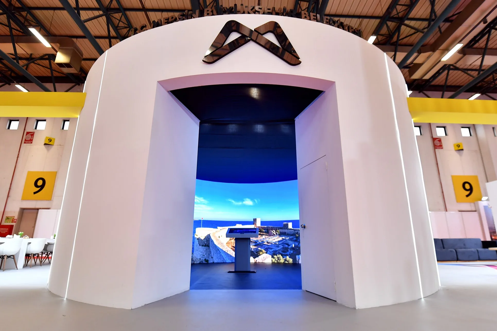
The white geometric exhibition pavilion created for VR Mersin.

The system behind the experience.

Technology atlas
2011 → / GEOSPATIAL

GIS / Georeferenced imaging

Pano-X records imagery together with position and orientation. GPS/GNSS, the IMU and the robot’s rotation data support image linking and spatial navigation. Moving from an aerial view down to street level is the visible result of that production chain.

Explore Mersin from above
2011 → / ROBOTICS

Pano-X / Capture robotics

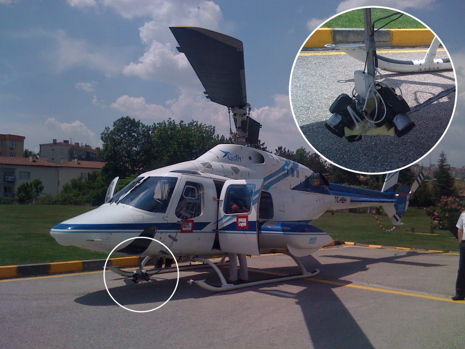
The rotating capture rig works with gyroscope, compass, accelerometer, GPS and encoder data. RTK positioning and an indoor stereo-camera approach address the same question in different settings: where is the camera, and where is it looking?

Pano-X production archive
2015 → / TIME-LAYERS

VR Mersin / City memory

Positioned panoramas gain day/night views, time layers, aerial-to-ground transitions and information points. The same content takes different forms in a web tour, a VR headset, a kiosk or a large exhibition surface.

Enter VR Mersin
2013—2026 / INSTALLATION

Kiosks / Shared experiences

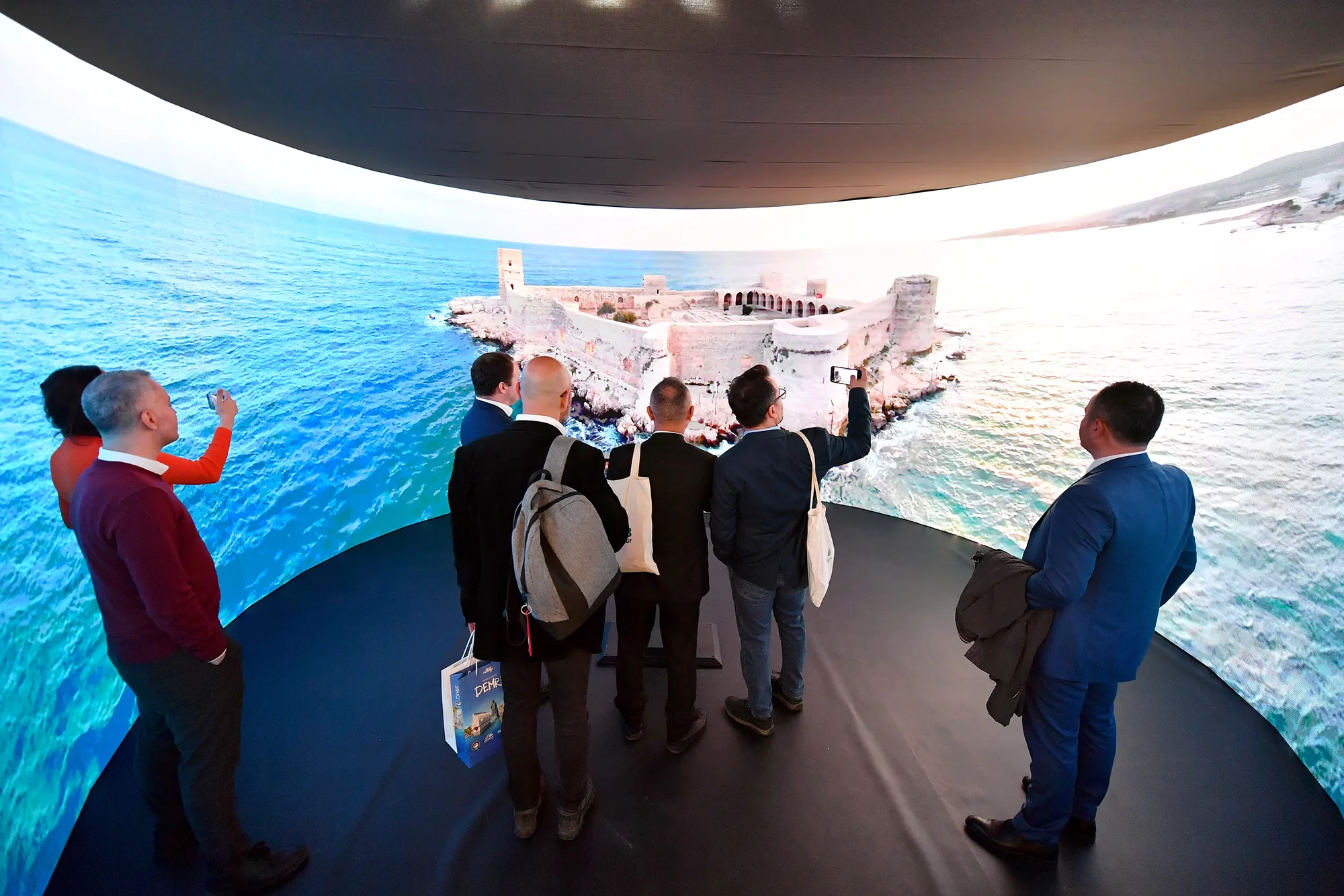
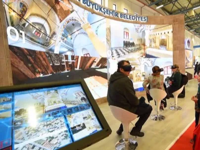
Headset control, portable presentation systems, touch kiosks and multi-surface rooms. The same spatial content adapts from a small screen to a presentation surrounding several people.

Cube VR / product archive
2015 / THE PROJECT STORY

More than a decade of city memory.

Back then

A city’s nature, history and everyday life cannot fit inside one film. Mersin needed a visual memory that could be explored at different scales and grow with new imagery and new uses.

What we made

We connected georeferenced aerial and ground panoramas. Visitors choose their own routes and can read a place through day/night views or changes over time. The original system’s Forum AVM day/night scene, Tulumba Bridge past/future scene and Marina aerial view are concrete examples. Content was also used in VR headsets, touch kiosks and multi-surface exhibition presentations.

What it made possible

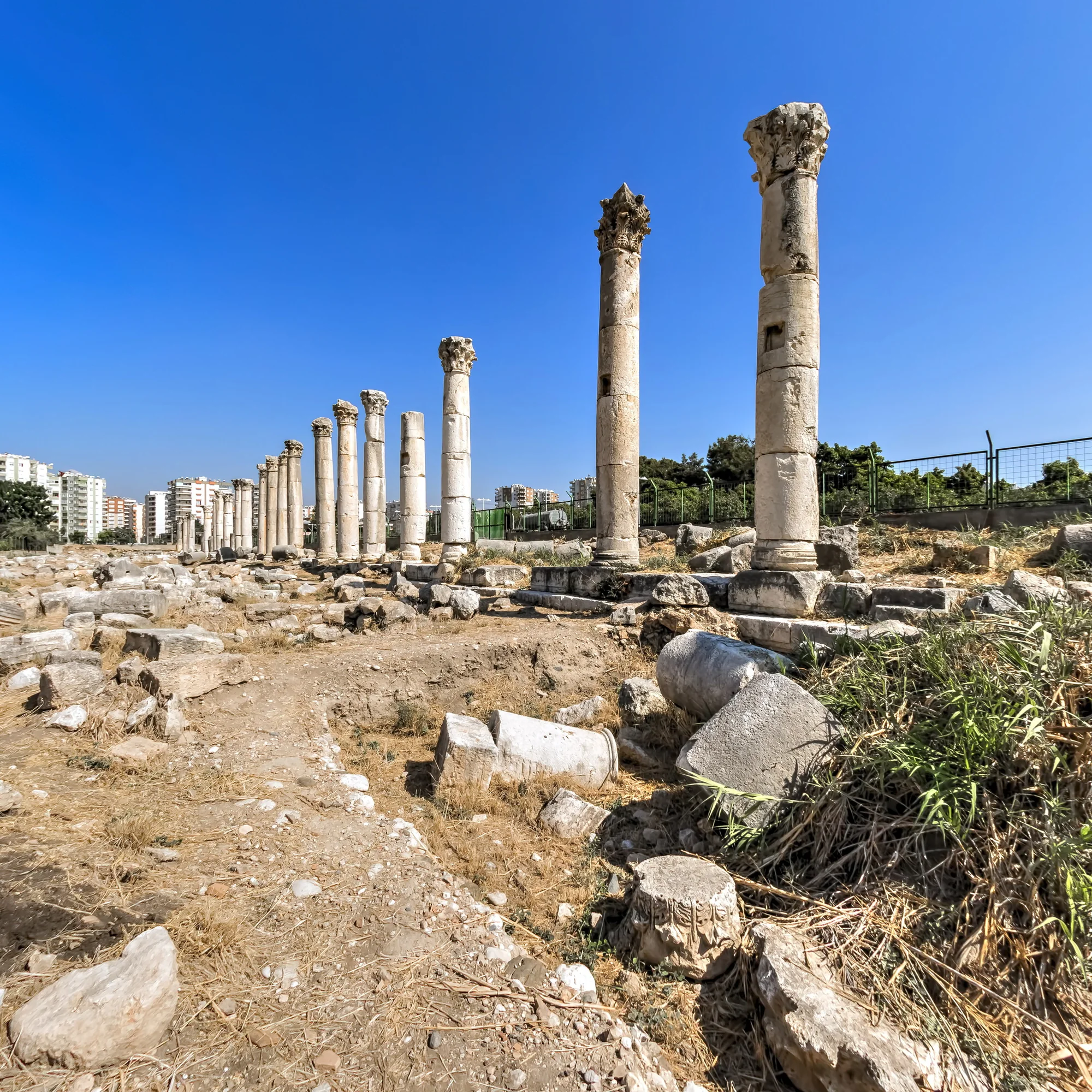
Production beginning in 2015 has grown into more than a decade of work through 2026. The 2016 municipal report records 272 locations and four languages. Later exhibitions and public presentations document the city archive reaching different settings; the Ancient Mersin film adds a new interpretation of its historic landscape.

2015 → 2026More than a decade of work
272Locations · 2016 municipal inventory
4Languages · 2016 edition

GISAerial + terrestrial panoramasDay/night transitionsTime layersVR filmsKiosk systemsMulti-surface displays
Open the experience
Sources and archive
Have something like this in mind?

Recognition

2019

İstanbul International Tourism Film Festival

Destination and culture film

PanoramicWEB project archive
Mersin Metropolitan MunicipalityBest Destination and Culture Film